


Massif du Rouet-21-05-21

Christiancordin
User
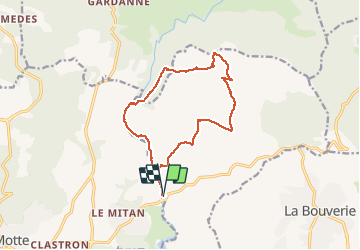

Length
14.1 km

Max alt
406 m

Uphill gradient
409 m
Km-Effort
19.6 km

Min alt
33 m

Downhill gradient
407 m
Boucle
Yes
Creation date :
2021-05-21 08:07:23.962
Updated on :
2021-05-22 16:03:51.401
4h26
Difficulty : Medium

FREE GPS app for hiking
 SityTrail
IGN / Geographical institutes
SityTrail Plus
The world is yours!
About
Trail Walking of 14.1 km to be discovered at Provence-Alpes-Côte d'Azur, Var, Le Muy. This trail is proposed by Christiancordin.
Description
Pont d'Endre-GR 51-Gournié-pas Confessionnal-GR 51-Fontaine du chasseur-vallon de Leyron-
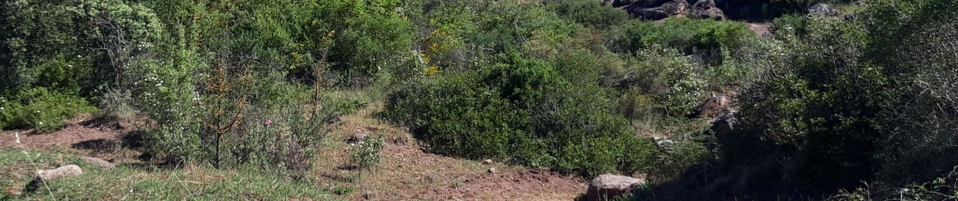
Photos


Positioning
Country:
France
Region :
Provence-Alpes-Côte d'Azur
Department/Province :
Var
Municipality :
Le Muy
Location:
Unknown
Start:(Dec)
Start:(UTM)
305226 ; 4819650 (32T) N.
Comments